****
|
|
|
|
**** | |
| Google Maps w/ Street view | Street maps and Aerial Photos |
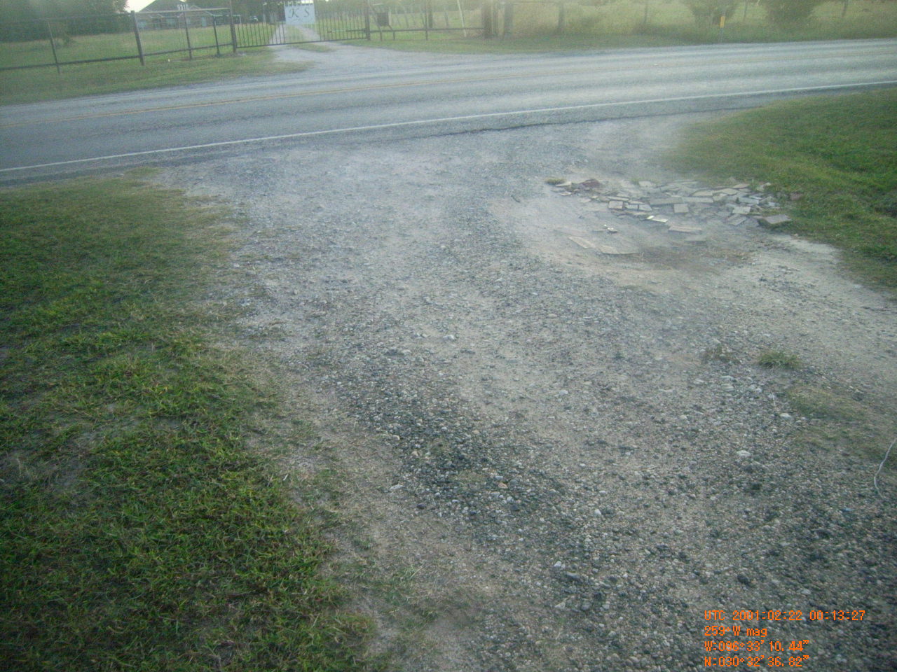
| Photograph Specific Information | |
| Location (Latitude) | 30.543561 |
| Location (Longitude) | -96.552900 |
| Location (P,X,Y) | 4203 3486392 10181645 |
| Location (X) | 3486392 |
| Location (Y) | 10181645 |
| Datum | US State Plane NAD 83 Texas Central ft (4203) |
| Elevation | 289 ft |
| Direction | 264.2° |
| Time | 02/21/2001 7:13:27 PM |
| Original File | R0001435.JPG |