
****
|
|
|
|
**** | |
| Google Maps w/ Street view | Street maps and Aerial Photos |
| Photograph Specific Information | |
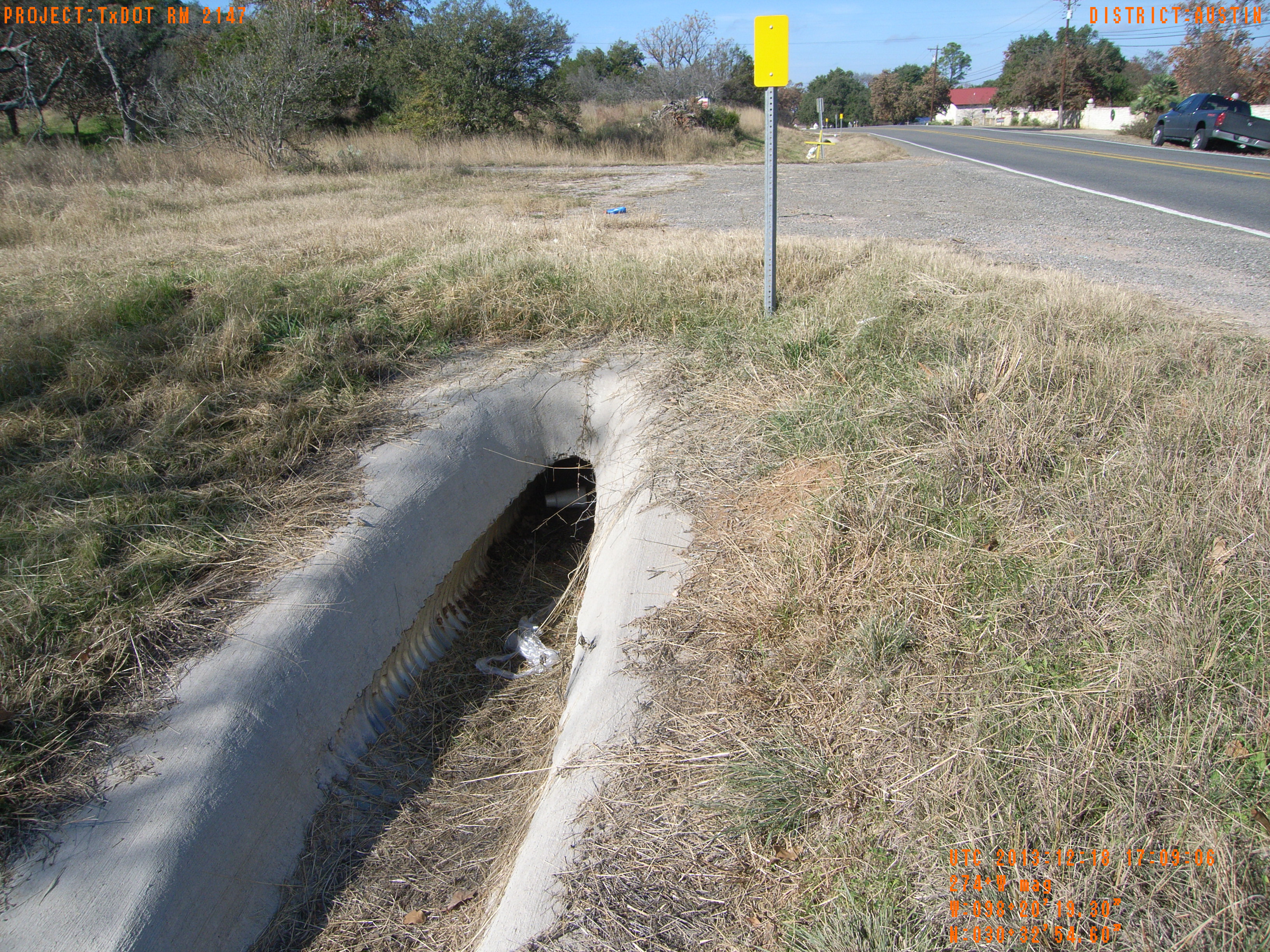
| Location (Latitude) | 30.548500 |
| Location (Longitude) | -98.338694 |
| Location (P,X,Y) | 4203 2924407 10168851 |
| Location (X) | 2924407 |
| Location (Y) | 10168851 |
| Datum | US State Plane NAD 83 Texas Central ft (4203) |
| Elevation | 814 ft |
| Direction | 279.7° |
| Time | 12/18/2013 11:09:05 AM |
| Original File | R0015624.JPG |