
****
|
|
|
|
**** | |
| Google Maps w/ Street view | Street maps and Aerial Photos |
| Photograph Specific Information | |
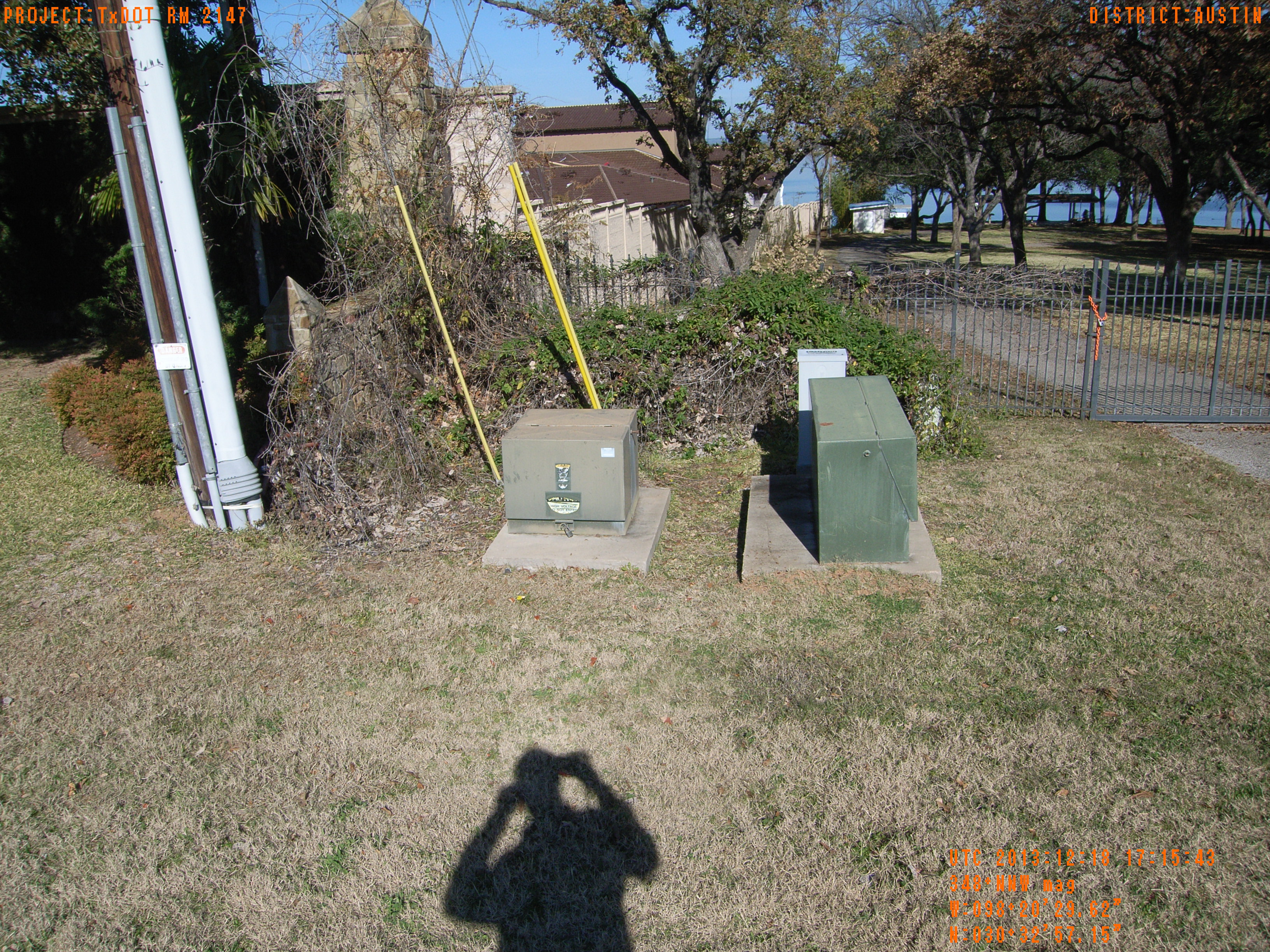
| Location (Latitude) | 30.549208 |
| Location (Longitude) | -98.341561 |
| Location (P,X,Y) | 4203 2923501 10169092 |
| Location (X) | 2923501 |
| Location (Y) | 10169092 |
| Datum | US State Plane NAD 83 Texas Central ft (4203) |
| Elevation | 837 ft |
| Direction | 353.1° |
| Time | 12/18/2013 11:15:43 AM |
| Original File | R0015647.JPG |