
****
|
|
|
|
**** | |
| Google Maps w/ Street view | Street maps and Aerial Photos |
| Photograph Specific Information | |
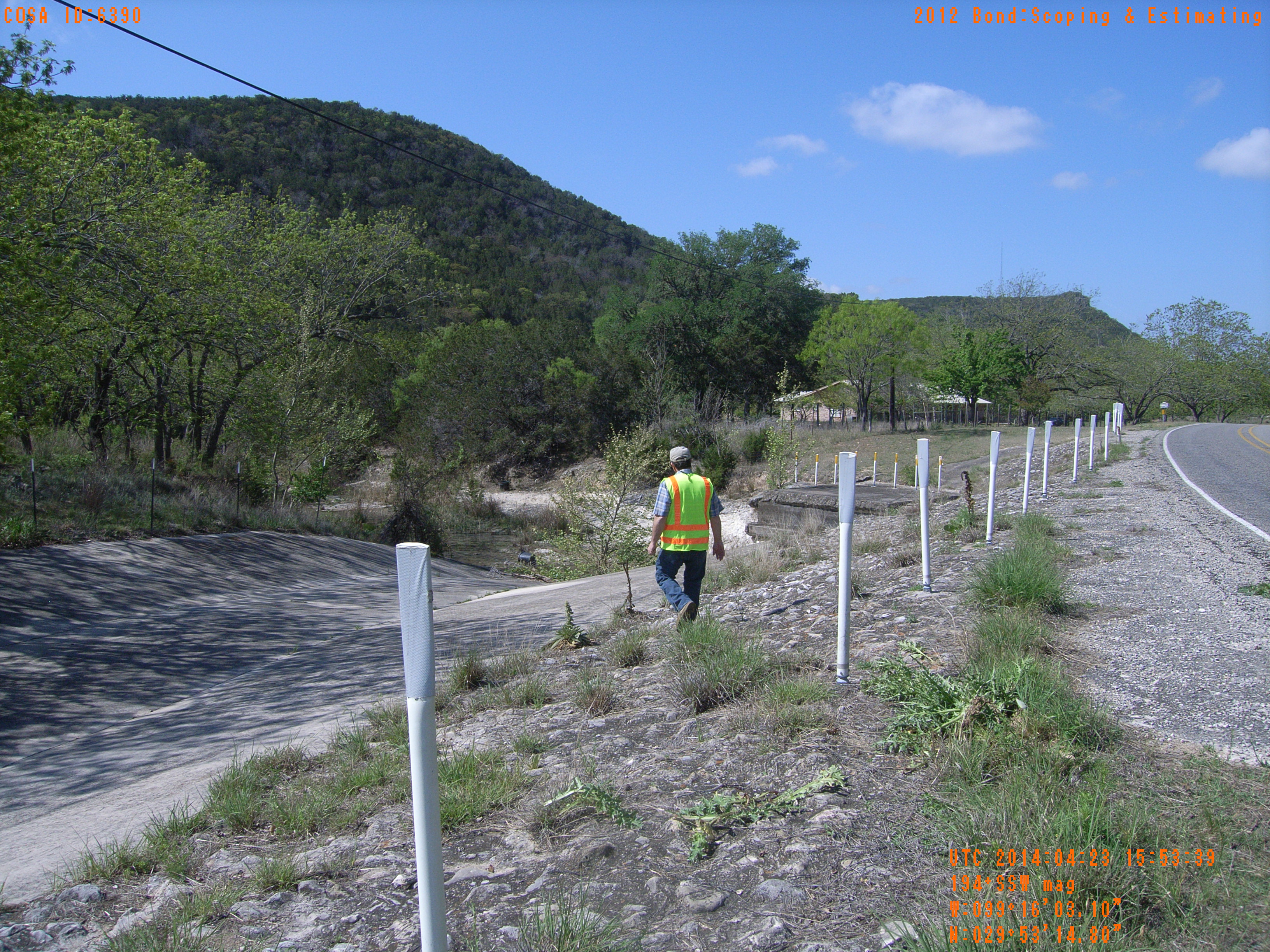
| Location (Latitude) | 29.887444 |
| Location (Longitude) | -99.267528 |
| Location (P,X,Y) | 4204 1883725 13870322 |
| Location (X) | 1883725 |
| Location (Y) | 13870322 |
| Datum | US State Plane NAD 83 Texas South Central ft (4204) |
| Elevation | 1693 ft |
| Direction | 200.4° |
| Time | 04/23/2014 10:53:39 AM |
| Original File | R0000012.JPG |