
****
|
|
|
|
**** | |
| Google Maps w/ Street view | Street maps and Aerial Photos |
| Photograph Specific Information | |
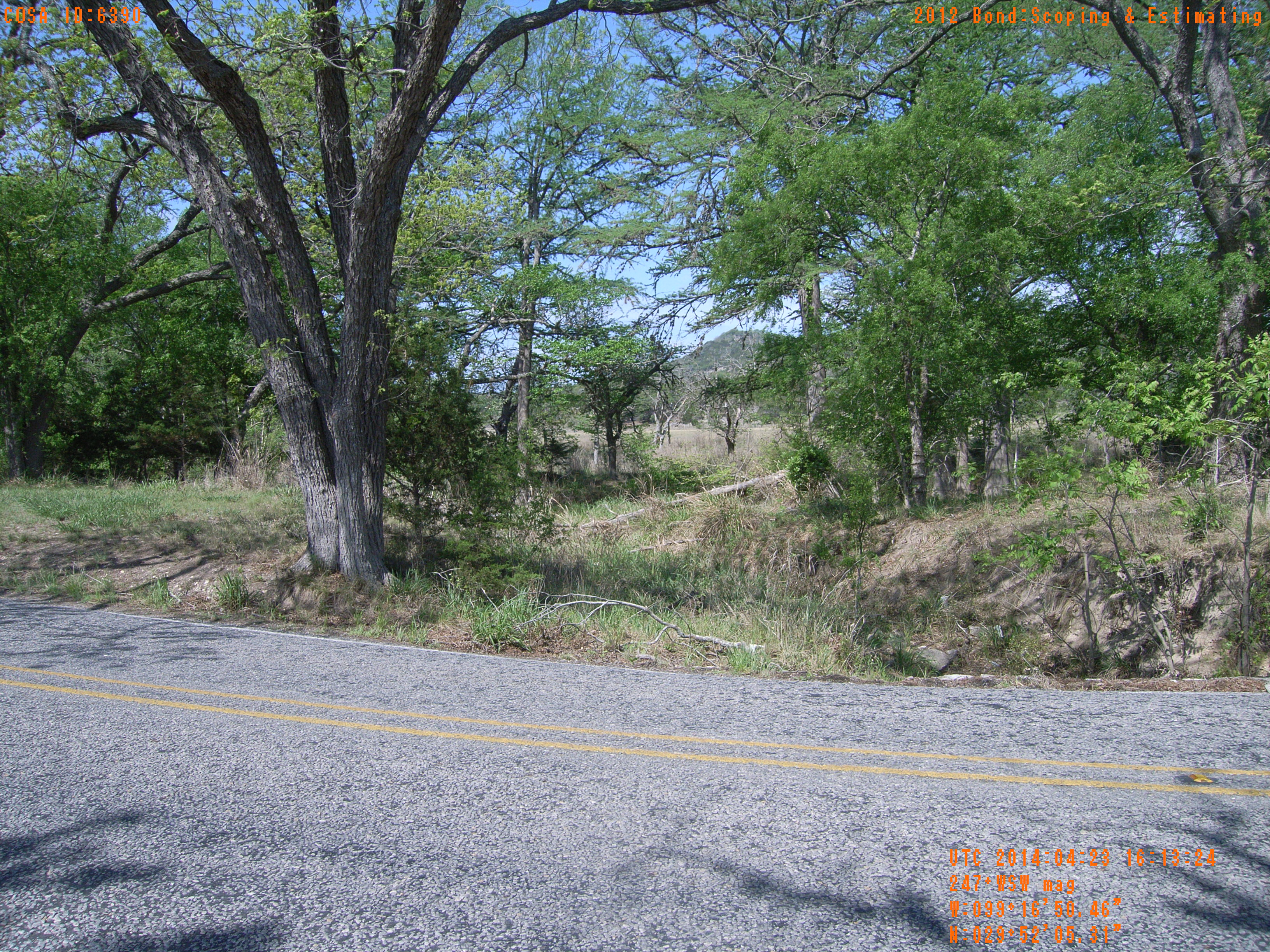
| Location (Latitude) | 29.868142 |
| Location (Longitude) | -99.280683 |
| Location (P,X,Y) | 4204 1879539 13863312 |
| Location (X) | 1879539 |
| Location (Y) | 13863312 |
| Datum | US State Plane NAD 83 Texas South Central ft (4204) |
| Elevation | 1565 ft |
| Direction | 252.7° |
| Time | 04/23/2014 11:13:24 AM |
| Original File | R0000042.JPG |