
****
|
|
|
|
**** | |
| Google Maps w/ Street view | Street maps and Aerial Photos |
| Photograph Specific Information | |
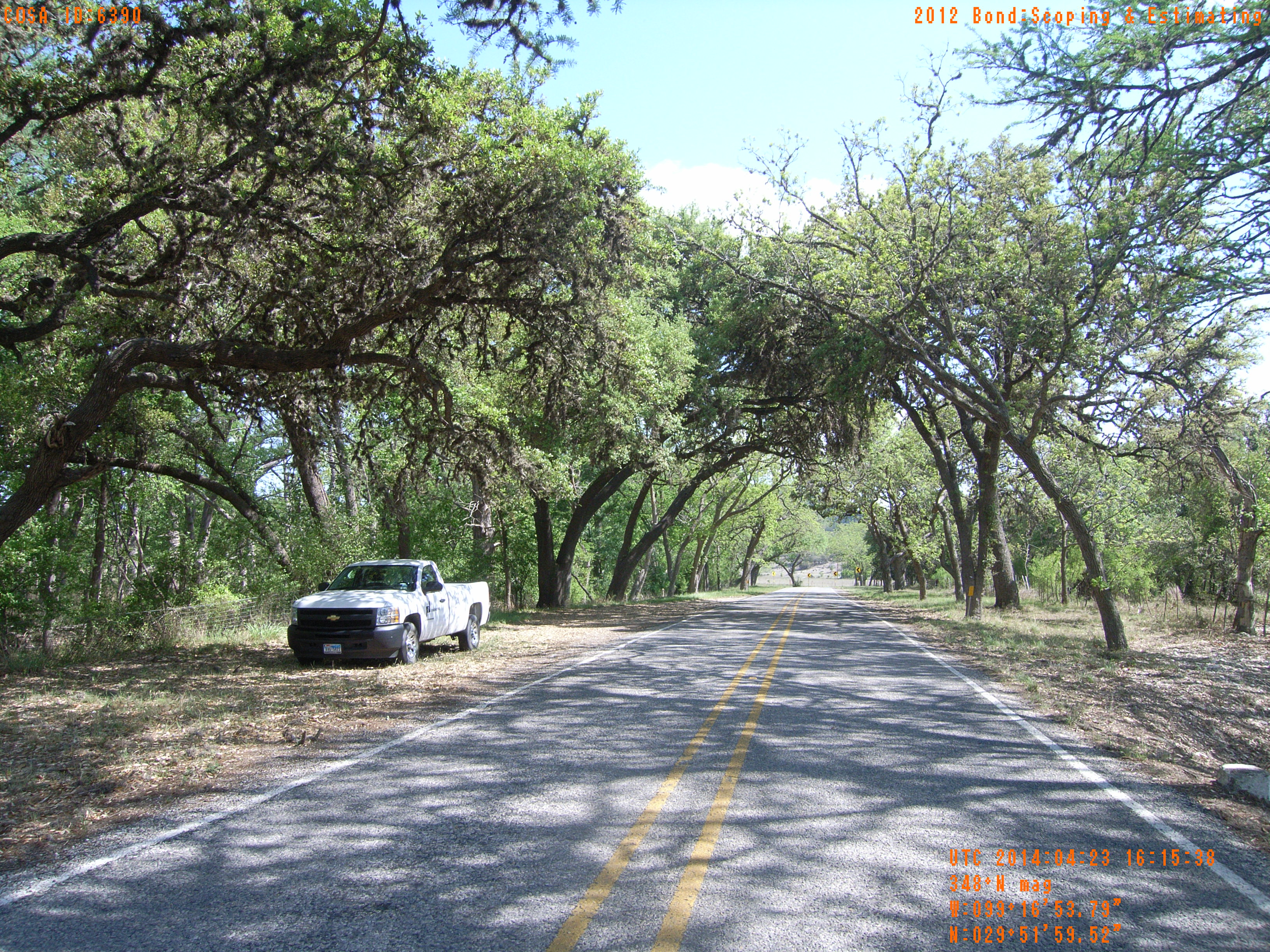
| Location (Latitude) | 29.866533 |
| Location (Longitude) | -99.281608 |
| Location (P,X,Y) | 4204 1879245 13862728 |
| Location (X) | 1879245 |
| Location (Y) | 13862728 |
| Datum | US State Plane NAD 83 Texas South Central ft (4204) |
| Elevation | 1575 ft |
| Direction | 354.3° |
| Time | 04/23/2014 11:15:38 AM |
| Original File | R0000046.JPG |