
****
|
|
|
|
**** | |
| Google Maps w/ Street view | Street maps and Aerial Photos |
| Photograph Specific Information | |
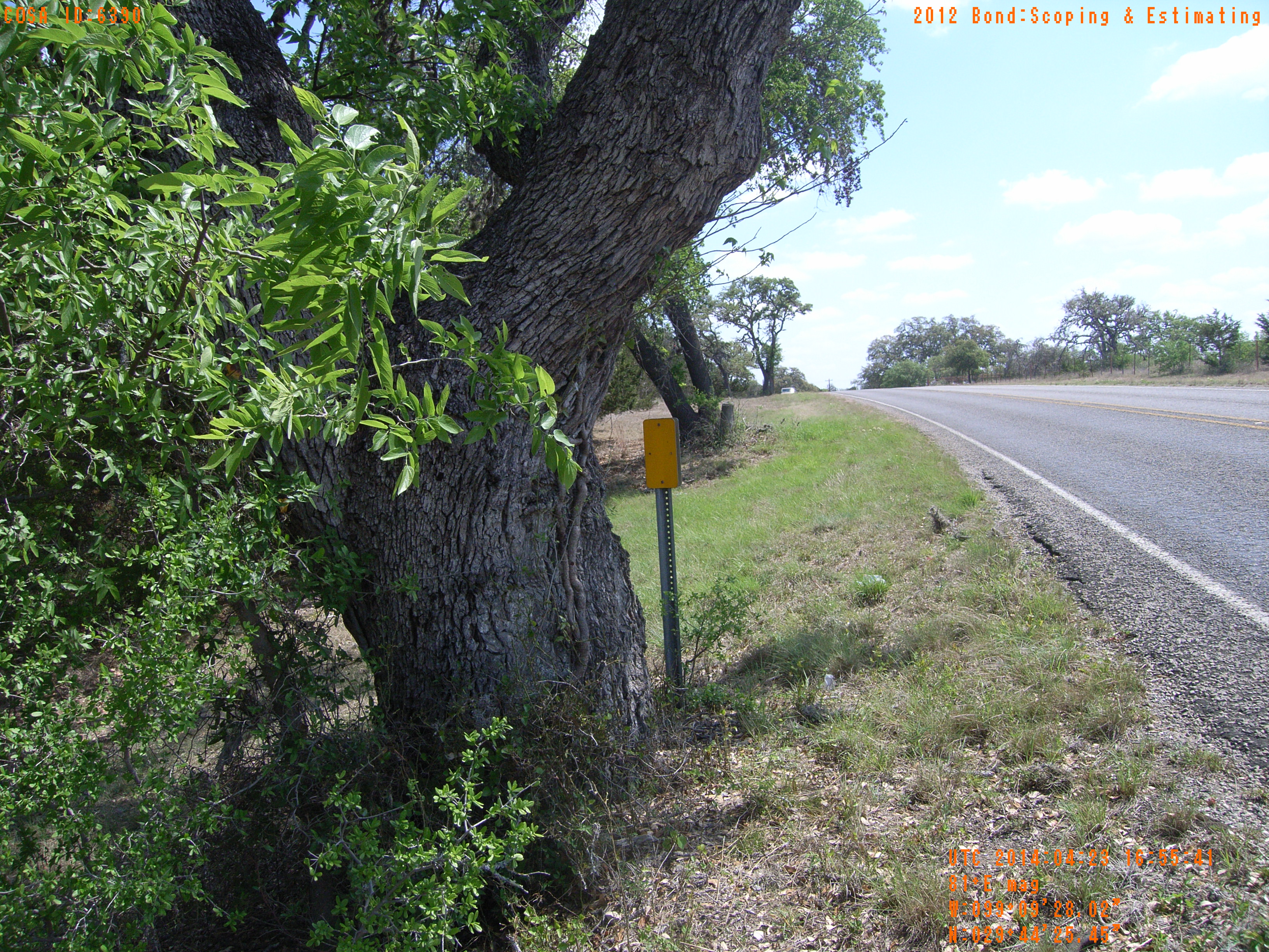
| Location (Latitude) | 29.740403 |
| Location (Longitude) | -99.157783 |
| Location (P,X,Y) | 4204 1918429 13816789 |
| Location (X) | 1918429 |
| Location (Y) | 13816789 |
| Datum | US State Plane NAD 83 Texas South Central ft (4204) |
| Elevation | 1375 ft |
| Direction | 86.9° |
| Time | 04/23/2014 11:55:40 AM |
| Original File | R0000070.JPG |