
****
|
|
|
|
**** | |
| Google Maps w/ Street view | Street maps and Aerial Photos |
| Photograph Specific Information | |
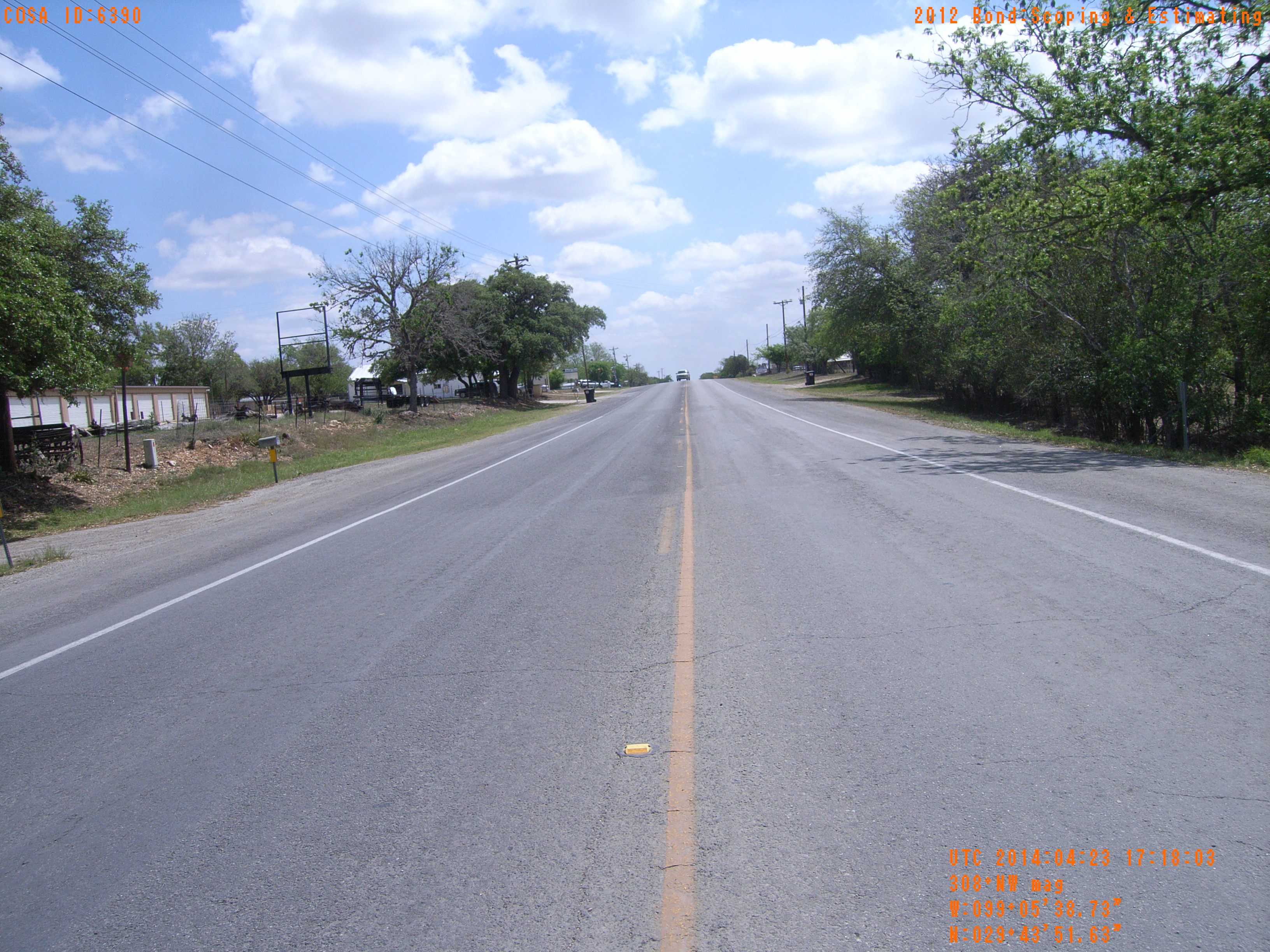
| Location (Latitude) | 29.731008 |
| Location (Longitude) | -99.094092 |
| Location (P,X,Y) | 4204 1938638 13813351 |
| Location (X) | 1938638 |
| Location (Y) | 13813351 |
| Datum | US State Plane NAD 83 Texas South Central ft (4204) |
| Elevation | 1263 ft |
| Direction | 313.6° |
| Time | 04/23/2014 12:18:02 PM |
| Original File | R0000101.JPG |