
****
|
|
|
|
**** | |
| Google Maps w/ Street view | Street maps and Aerial Photos |
| Photograph Specific Information | |
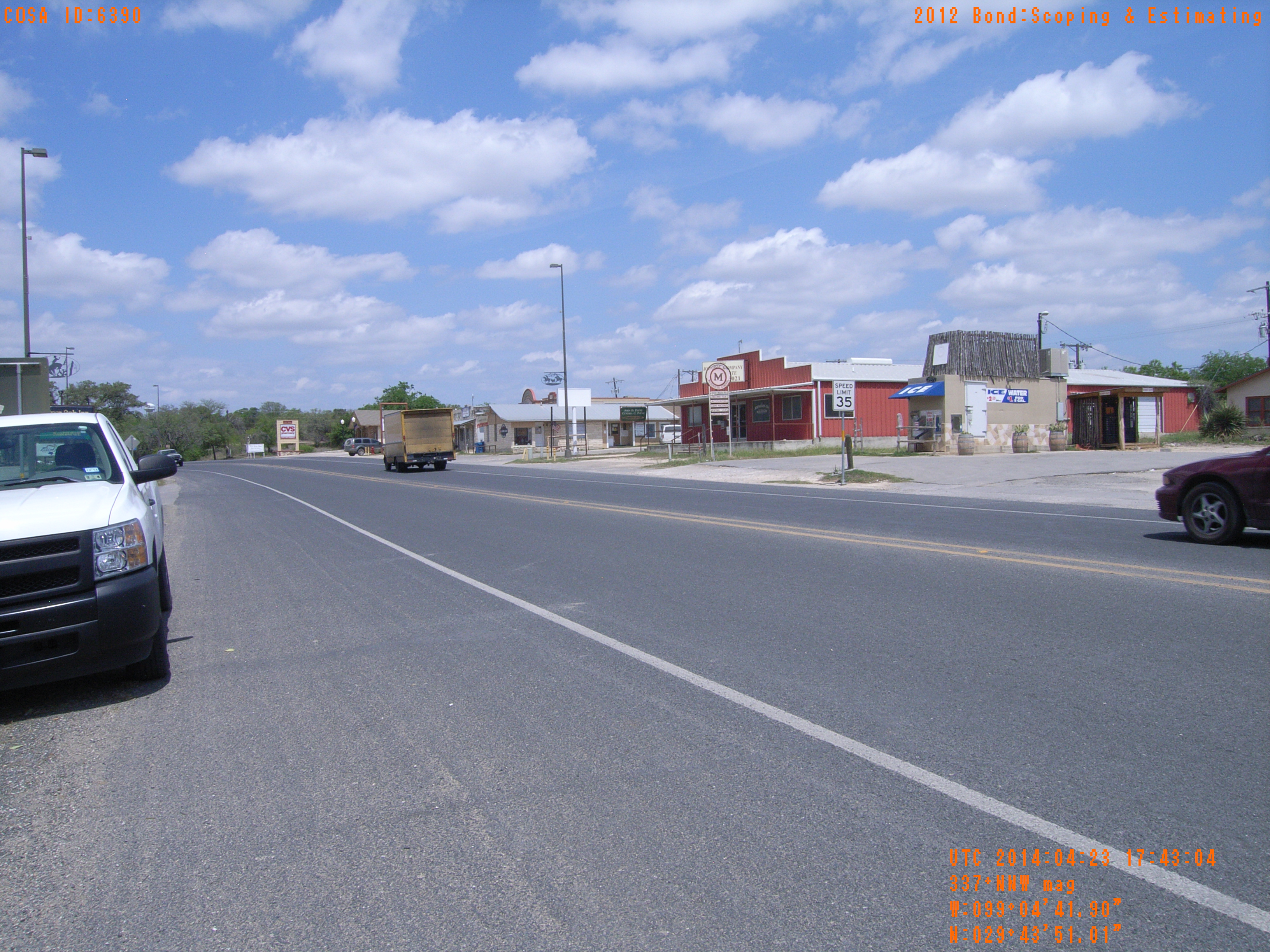
| Location (Latitude) | 29.730836 |
| Location (Longitude) | -99.078306 |
| Location (P,X,Y) | 4204 1943648 13813284 |
| Location (X) | 1943648 |
| Location (Y) | 13813284 |
| Datum | US State Plane NAD 83 Texas South Central ft (4204) |
| Elevation | 1240 ft |
| Direction | 343.3° |
| Time | 04/23/2014 12:43:04 PM |
| Original File | R0000144.JPG |