
****
|
|
|
|
**** | |
| Google Maps w/ Street view | Street maps and Aerial Photos |
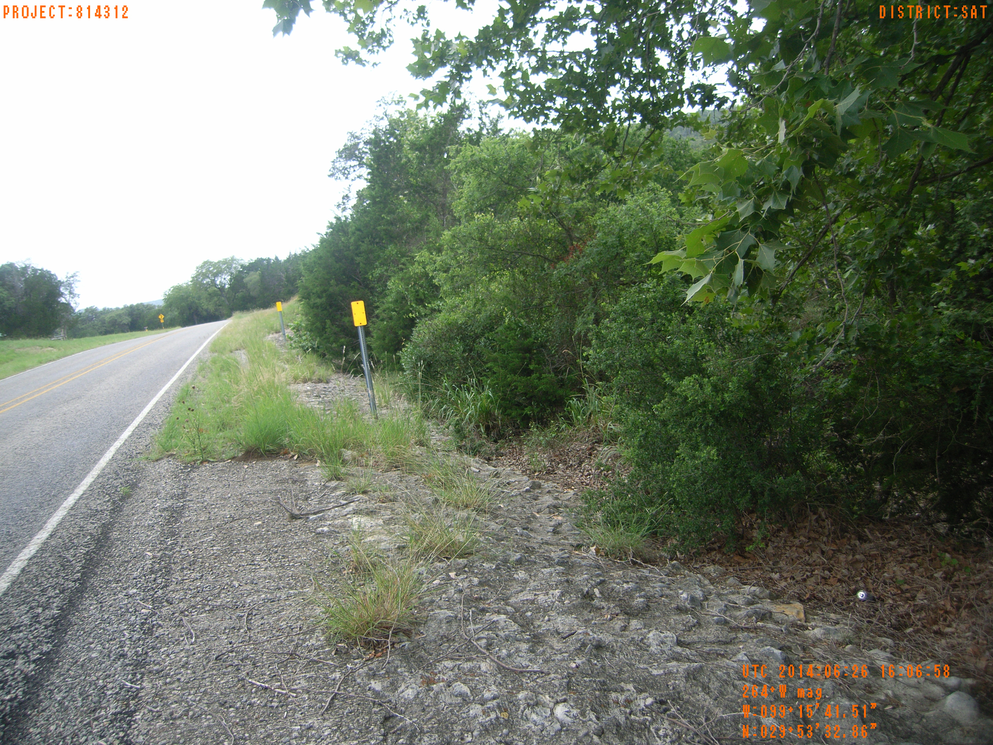
| Photograph Specific Information | |
| Location (Latitude) | 29.892469 |
| Location (Longitude) | -99.261519 |
| Location (P,X,Y) | 4204 1885633 13872145 |
| Location (X) | 1885633 |
| Location (Y) | 13872145 |
| Datum | US State Plane NAD 83 Texas South Central ft (4204) |
| Elevation | 1693 ft |
| Direction | 47.6° |
| Time | 06/26/2014 11:07:11 AM |
| Original File | R0000170.JPG |