
****
|
|
|
|
**** | |
| Google Maps w/ Street view | Street maps and Aerial Photos |
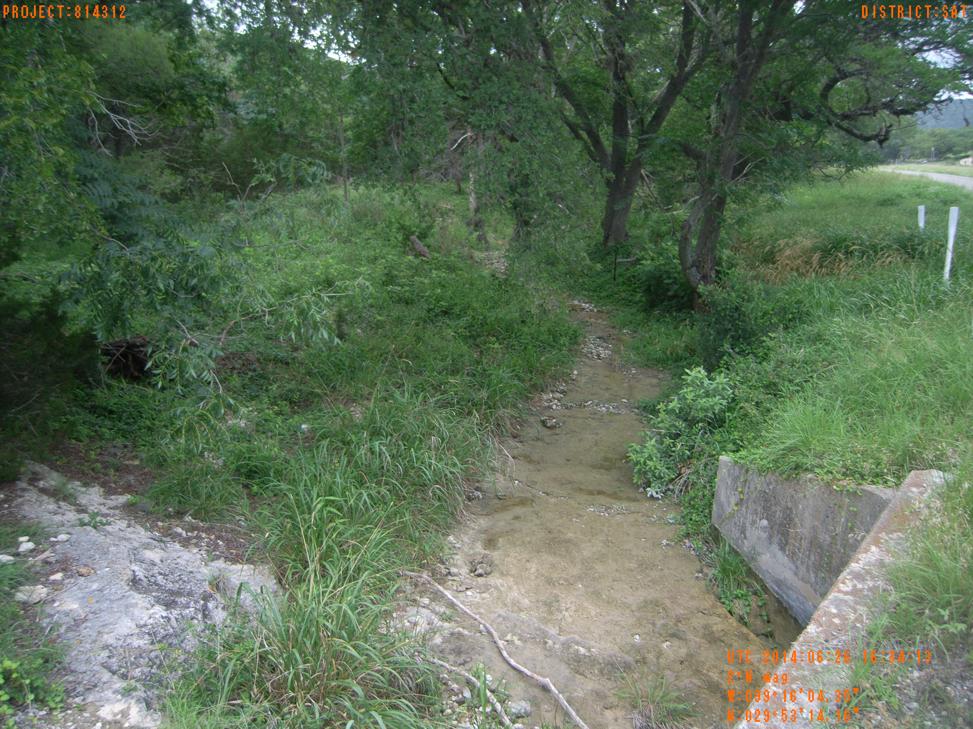
| Photograph Specific Information | |
| Location (Latitude) | 29.887267 |
| Location (Longitude) | -99.267875 |
| Location (P,X,Y) | 4204 1883615 13870258 |
| Location (X) | 1883615 |
| Location (Y) | 13870258 |
| Datum | US State Plane NAD 83 Texas South Central ft (4204) |
| Elevation | 1647 ft |
| Direction | 8.3° |
| Time | 06/26/2014 11:34:13 AM |
| Original File | R0000185.JPG |