
****
|
|
|
|
**** | |
| Google Maps w/ Street view | Street maps and Aerial Photos |
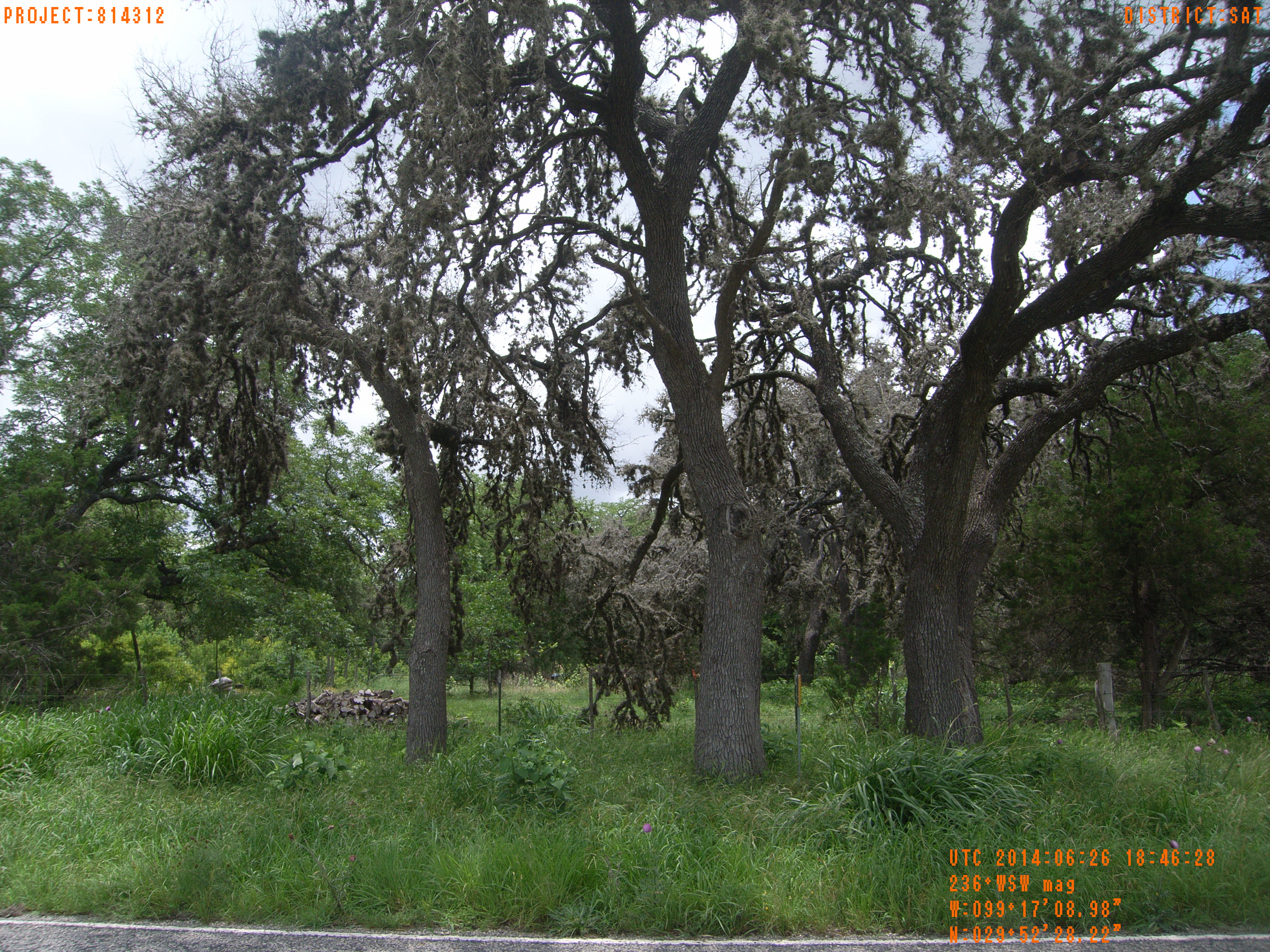
| Photograph Specific Information | |
| Location (Latitude) | 29.874506 |
| Location (Longitude) | -99.285828 |
| Location (P,X,Y) | 4204 1877915 13865631 |
| Location (X) | 1877915 |
| Location (Y) | 13865631 |
| Datum | US State Plane NAD 83 Texas South Central ft (4204) |
| Elevation | 1588 ft |
| Direction | 242.4° |
| Time | 06/26/2014 1:46:28 PM |
| Original File | R0000202.JPG |