
****
|
|
|
|
**** | |
| Google Maps w/ Street view | Street maps and Aerial Photos |
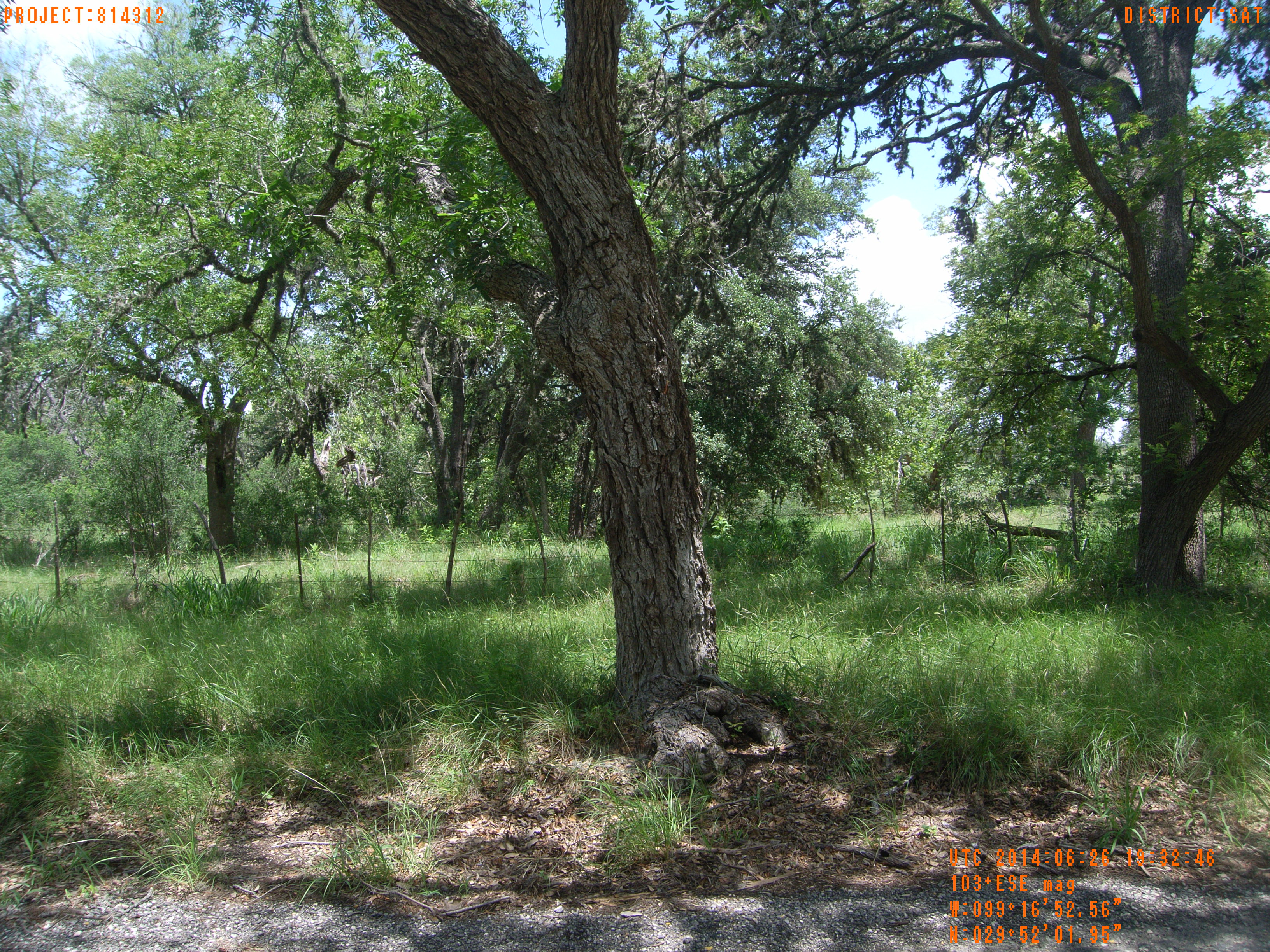
| Photograph Specific Information | |
| Location (Latitude) | 29.867208 |
| Location (Longitude) | -99.281267 |
| Location (P,X,Y) | 4204 1879354 13862974 |
| Location (X) | 1879354 |
| Location (Y) | 13862974 |
| Datum | US State Plane NAD 83 Texas South Central ft (4204) |
| Elevation | 1539 ft |
| Direction | 108.8° |
| Time | 06/26/2014 2:32:46 PM |
| Original File | R0000216.JPG |