
****
|
|
|
|
**** | |
| Google Maps w/ Street view | Street maps and Aerial Photos |
| Photograph Specific Information | |
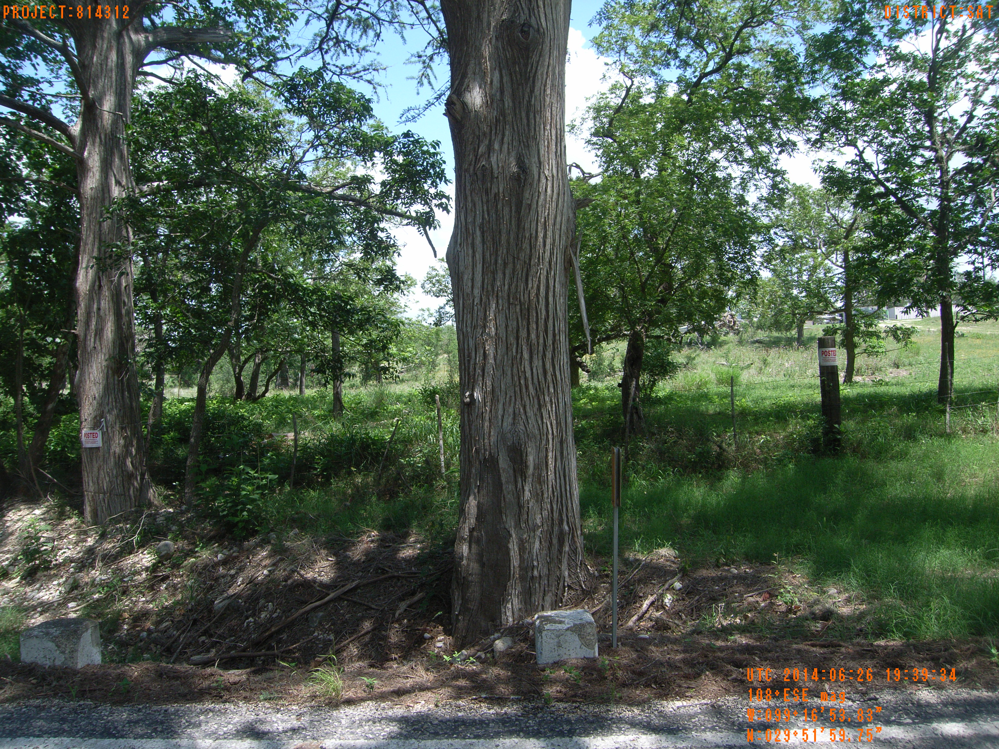
| Location (Latitude) | 29.866597 |
| Location (Longitude) | -99.281619 |
| Location (P,X,Y) | 4204 1879241 13862752 |
| Location (X) | 1879241 |
| Location (Y) | 13862752 |
| Datum | US State Plane NAD 83 Texas South Central ft (4204) |
| Elevation | 1555 ft |
| Direction | 114.2° |
| Time | 06/26/2014 2:39:34 PM |
| Original File | R0000218.JPG |