
**Statewide Curb Ramp Program**
|
|
|
|
**Statewide Curb Ramp Program** | |
| Google Maps w/ Street view | Street maps and Aerial Photos |
| Photograph Specific Information | |
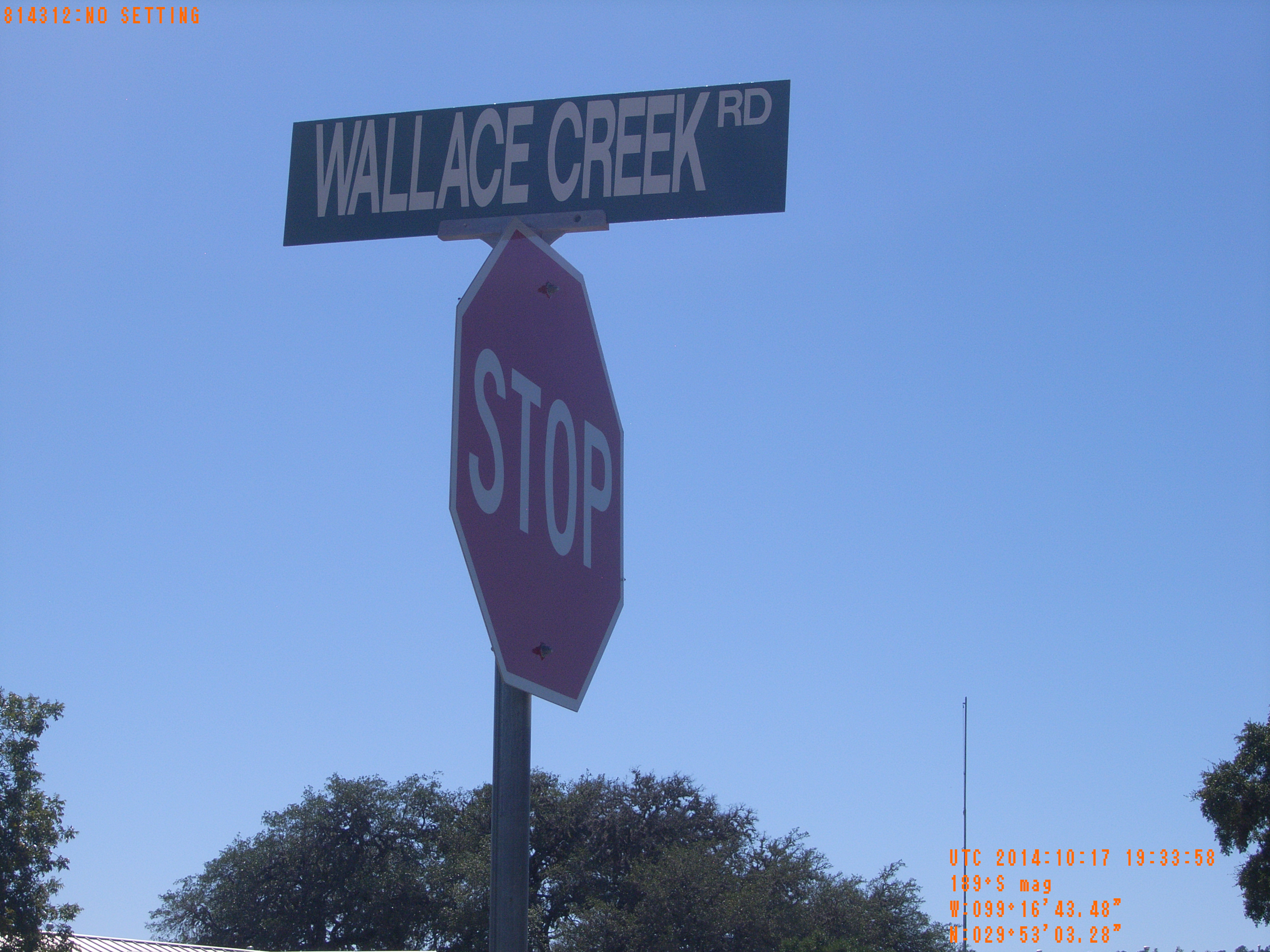
| Location (Latitude) | 29.884244 |
| Location (Longitude) | -99.278744 |
| Location (P,X,Y) | 4204 1880168 13869167 |
| Location (X) | 1880168 |
| Location (Y) | 13869167 |
| Datum | US State Plane NAD 83 Texas South Central ft (4204) |
| Elevation | 1670 ft |
| Direction | 194.6° |
| Time | 10/17/2014 2:33:57 PM |
| Original File | R0000409.JPG |