****
|
|
|
|
**** | |
| Google Maps w/ Street view | Street maps and Aerial Photos |
| Photograph Specific Information | |
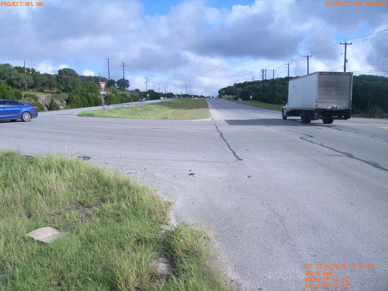
| Location (Latitude) | 29.770603 |
| Location (Longitude) | -98.427603 |
| Location (P,X,Y) | 4204 2150090 13828181 |
| Location (X) | 2150090 |
| Location (Y) | 13828181 |
| Datum | US State Plane NAD 83 Texas South Central ft (4204) |
| Elevation | 1168 ft |
| Direction | 2.9° |
| Time | 09/06/2018 9:41:03 AM |
| Original File | R0000091.JPG |